Drone Surveys

When you need a survey of your personal, commercial, telecommunications, or construction property, you need to ensure that the work is done accurately and precisely to eliminate the potential for unknown factors when beginning a sale, purchase, or improvements to the property. However, it is also essential that your survey be completed efficiently in order to prevent any unnecessary delays, as well as in a cost efficient manner.
What Is Drone Surveying?
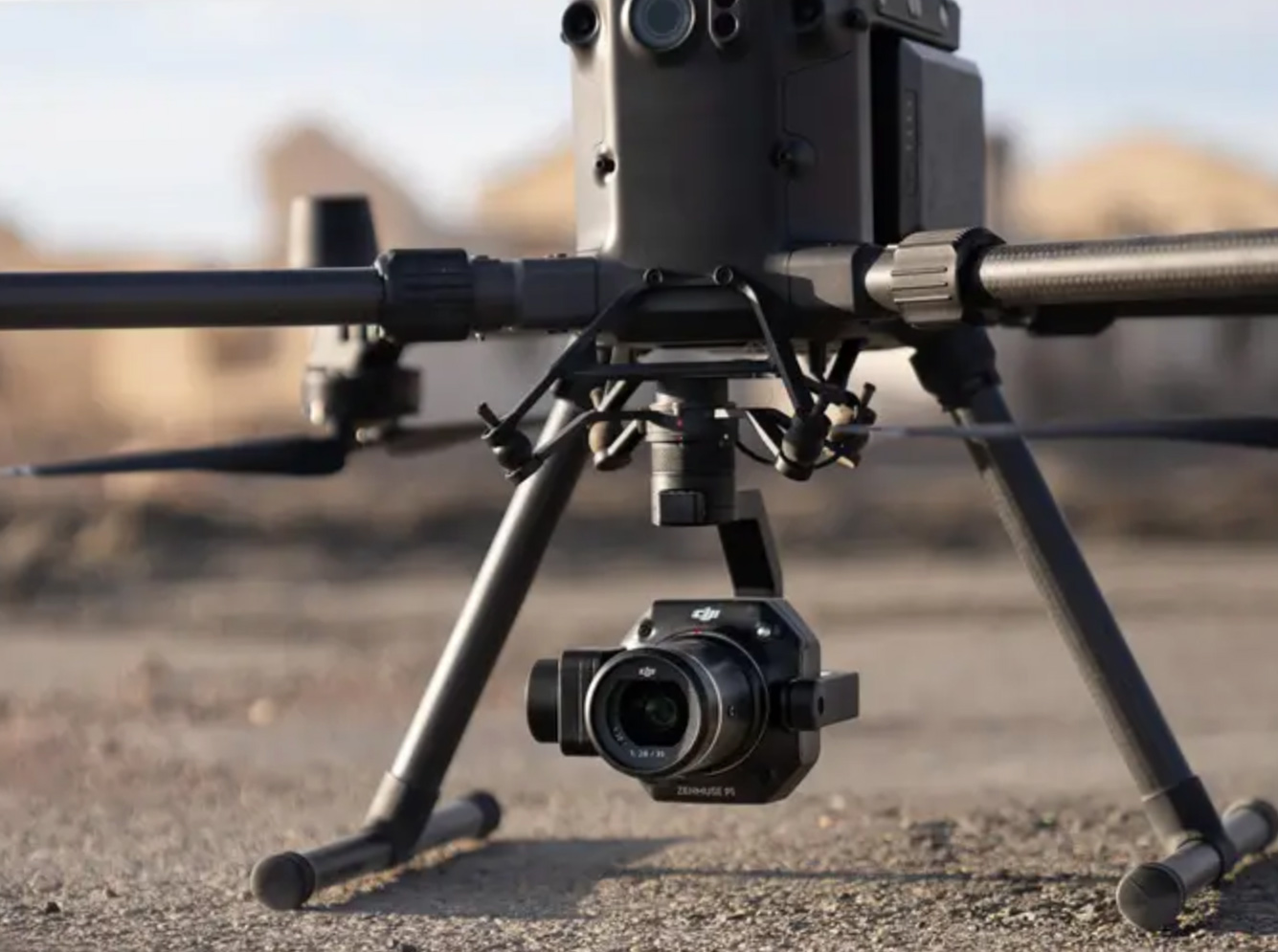
Drone surveying employs the use of a flying, unmanned aerial vehicle – otherwise known as a UAV or drone – to collect, analyze, and record geographic data. Drones exist in a number of configurations and are piloted by an FAA licensed UAV remote pilot, who can assure thorough coverage of the area in question.
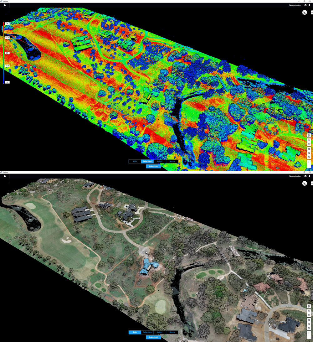
Depending on the type of survey or mapping needed, drone surveyors leverage many types of advanced technologies. For example, light detection and ranging, or LIDAR, utilizes lasers to illuminate a target and measure the distance between the reflected light and a sensor., and orthomosaic mapping stitches together multiple 3-D models of an area into a single scaled image.
Together, these and other technologies allow drones to gather multiple types of image data and convert it into the desired 2D, 3D, or, all in a digital format. From these files, users can quickly develop other map types, make calculations, and even monitor the maps for changes. In this way, users can identify flood risk zones, geographical features, and construction or resource changes.

Why Choose Drone Surveying?
At Survey Works, we recognize that many Austin and Central Texas area clients may be unfamiliar with drone mapping or simply reluctant to begin utilizing this new technology when our traditional land surveyors perform such high quality work. However, there are several advantages to choosing drone surveying, including:
- Efficiency. Due to their aerial nature, drones can cover a large amount of land area relatively quickly – including land with topography normally difficult for humans and vehicles to travel. In addition, drones can gather multiple types of data and images at once, transmitting their findings to the proper recipients for analysis.
- Accuracy. Drones have been found to provide surveys just as accurate as human surveyors, backed by the presence of digital imaging for further analysis if necessary. Precise, digital measurement of height, volume, distance and other properties ensures you’ll have the best possible information about your property.
- Safety. Since drones can access dangerous or impassable areas – surveyors’ safety concerns are drastically reduced. In addition, there’s no need to block or reroute traffic to complete a survey.
- Cost efficient. Drone surveying provides an excellent balance between high-quality, high-technology surveying and the overall reduction of the time and risk necessary to perform such a survey. As a result, drone surveying is one of the most cost-effective ways to perform a survey.
The Survey Works Difference
As we work to modernize and improve the surveying process in Austin, Survey Works has implemented drone surveying in multiple common survey areas. Among the drone surveying services we offer are:
- Topographical mappingOrthomosaic mapping
- Digital surface models
- Elevation models
Survey Works has been providing Austin and the surrounding areas with professional land surveying services since 2015. Whether your project is a new home build, an industrial construction endeavor, or a large-scale infrastructure project, Survey Works has the insured and licensed land surveyors and the drone capabilities you need. Our deliverables will provide your project’s engineers, architects, contractors, construction crews, local officials, and more with the data needed to move forward.
If you’re in need of a drone survey, call 512-599-8067 or contact us online to get started. A member of our team will assist you in determining your next steps.
